Home
The High Desert Ledger

Field notes on water, land, weather and work across the American Southwest

LD 2 entries · Latest entry

Land and maps

How the Southwest is read on paper and on the ground: land grants, surveys, historic maps, public land, soils, arroyos and the boundaries that decide who may build, graze or cross.

LD-002LD-001

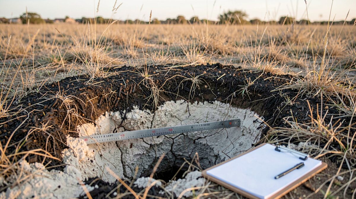
A shallow soil pit dug by hand in dry grassland, two feet deep, showing a dark organic layer over pale caliche, with a folding ruler laid across the exposed face and a clipboard resting on the ground beside it, low morning light from the east.
Plate LD-002 A shallow soil pit dug by hand in dry grassland, two feet deep, showing a dark organic layer over pale caliche, with a folding ruler laid across the exposed face and a clipboard resting on the ground beside it, low morning light from the east.

The register of the slice

2The rack
  1. A shallow soil pit dug by hand in dry grassland, two feet deep, showing a dark organic layer over pale caliche, with a folding ruler laid across the exposed face and a clipboard resting on the ground beside it, low morning light from the east.
    LD-002

    Reading Dry Ground the Way an Ecologist Does

    An ecological assessment reads soils, water and plants. In the arid Southwest that reading is less forgiving, and it decides what a parcel can carry.

    Particulars
    Land and maps · 1079 words · 1 source
    Caveat
    this entry cites only nrcs.usda.gov

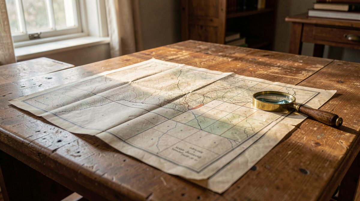
  2. A folded 19th-century survey sheet of a Southwestern territory spread flat on a wooden table in a county records office, late afternoon light from a west window raking across the paper, a brass magnifier resting on the corner, the map's contour lines and section grid visible in the frame.
    LD-001

    Reading an Old Map of the Southwest

    A historic map of the Southwest records who surveyed it, what they named, and what they left off the sheet.

    Particulars
    Land and maps · 1230 words · 3 sources
    Caveat
    this entry cites only loc.gov, archives.gov, usgs.gov